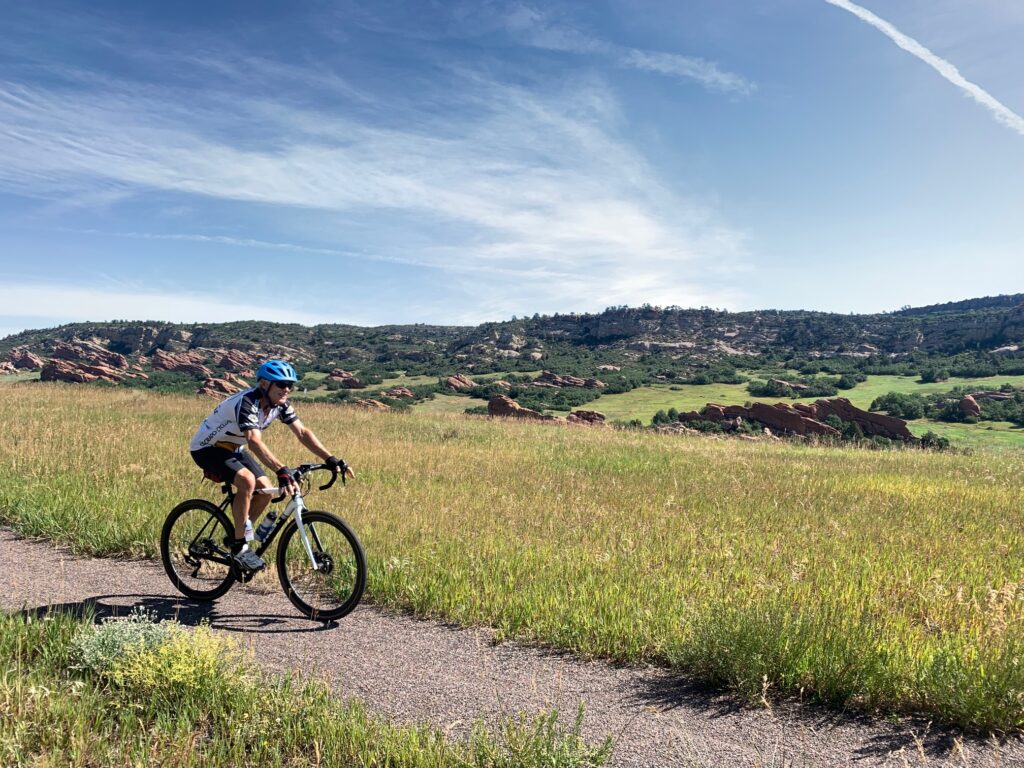
Gravel Biking In and Around Jeffco

Colorado has many great destinations for gravel bike rides including Boulder, Fort Collins, and Steamboat Springs. Although Jefferson County is not considered a destination spot for gravel biking, there are lots of places to ride, especially in our thousands of acres of open space. Some of the County, State and local parks with significant gravel riding include South Valley Park, Hildebrand Park, Chatfield State Park, Bear Creek Lake Park, Green Mountain, and South Table Mountain. If you go further east there’s a network of trails south of Highlands Ranch, and of course the 72 mile Highline Canal trail that starts near Waterton Canyon and goes all the way to Green Valley Ranch near the airport. There are also many miles of ridable gravel roads in the Pike national forest around Deckers, and in South Park. A great website for finding gravel riding is gravelmap.com.
Team Evergreen had the following Gravel rides in 2022 (click ride title for map):
The Chatfield Area Gravel ride is a great way to become acquainted with some of the gravel bike options southwest of Denver. Of the total 40 miles, only 7 are on roads traveled by car. The route has every type of surface including asphalt and gravel roads, asphalt and concrete paths, and single track. On this ride you will explore the following:
South Valley Park – The mapped route includes the beautiful Coyote Song Trail which goes from the South Trailhead (parking lot) to the North Trailhead near Ken Caryl subdivision. Be sure to yield to hikers. At that point you cross South Valley Road to the paved Valley View trail which descends back to South Valley Road, where you will find the single-track Grazing Elk Trail. This relatively gentle trail can be done as a loop back to the starting point or can connect to Deer Creek Canyon Road. Enjoy the views of the rock formations you just rode by on the Coyote Song Trail.
Hildebrand Ranch Park – A few miles down Deer Creek Road from is Hildebrand, which has a singletrack trail called Two Brands. From the parking lot at 0.3 miles into the trail, there is an intersection. Going right (west) leads to a trail along the hogback which is rocky and challenging. An easy option is to go left (east) to the Trailmark Subdivision. Either way this segment of the ride ends on Wadsworth at Trailmark Parkway just south of the entrance to Chatfield State Park. Cross Wadsworth to access the Trailmark concrete path into Chatfield.
Chatfield State Park – Surprisingly there is a long stretch of gravel road that parallels Wadsworth for several miles down to the Audubon Nature Center and Waterton Canyon parking lot. This road is accessed by turning off the main park road toward the horse stables when heading south from the Trailmark path.
Waterton Canyon – If it’s a hot day, refill your water bottles in the parking lot. This is a very good dirt road that ascents gently along the beautiful South Platte River for 6 miles up to the Strontia Springs Reservoir Dam. Its is also possible to continue higher up a steep, challenging trail to the beginning of the Colorado Trail. From the dam, backtrack to Waterton Road. You’re likely to encounter Bighorn Sheep, so have your phone ready for pictures!
Highline Canal – The beginning of the 70+ mile gravel Highline Canal Trail is a short distance east of Waterton Canyon on Waterton Road. Ride this winding road approximately 6 miles to find the Plum Creek Trail. Take a left and head north on this narrow asphalt trail with single track dirt on the side of it. This trail goes to the Chatfield Interconnect Trail which is a wide concrete path that takes you Northeast to the Chatfield dam. Go over the dam get on the main Chatfield Road heading west, then climb up towards the Corps of Engineers headquarters and then head west to exit Chatfield at Wadsworth and Deer Creek Canyon Road where the ride began.
Ride Review Report of Golden to Denver Commuter and Recreational Bike Routes

